
I’ve noticed recently when people call me to ask about a boundary survey that they are surprised when I tell them how much it costs. Often they say something like “I thought it would only cost $500.” It took me a while to figure out where they were getting this number. It turns out Google is giving quotes right on the search results page. If you search Google for “boundary survey cost” up pops a “featured snippet” that shows the national average cost of a survey is between $367 and $490. This result is pulled automatically from a website that Google guesses is an authority. Well, Google is wrong.
 The website that posted this information is not from a land surveyor or land surveying firm. It’s a home improvement directory that connects homeowners with contractors in their area and offers free quotes for services. When you try to find a quote from a land surveyor, it comes back with “we are unable to find available Land Surveyors in your area.” So much for authority.
At least the site got this part right: “Several factors shape the final bill of a land survey. The cost of hiring a professional surveyor is not so straightforward as paying for routine repair work or other general home services. The price varies widely not only by locality and surveyor, but also by dozens of project-specific details. Even after analyzing over 2,000 land survey projects, the average price above may not be accurate for your parcel or area. That’s because there are plenty of factors that can increase or decrease your property survey cost”.
This is true, especially here in California. Here’s a general guideline I like to tell my clients:
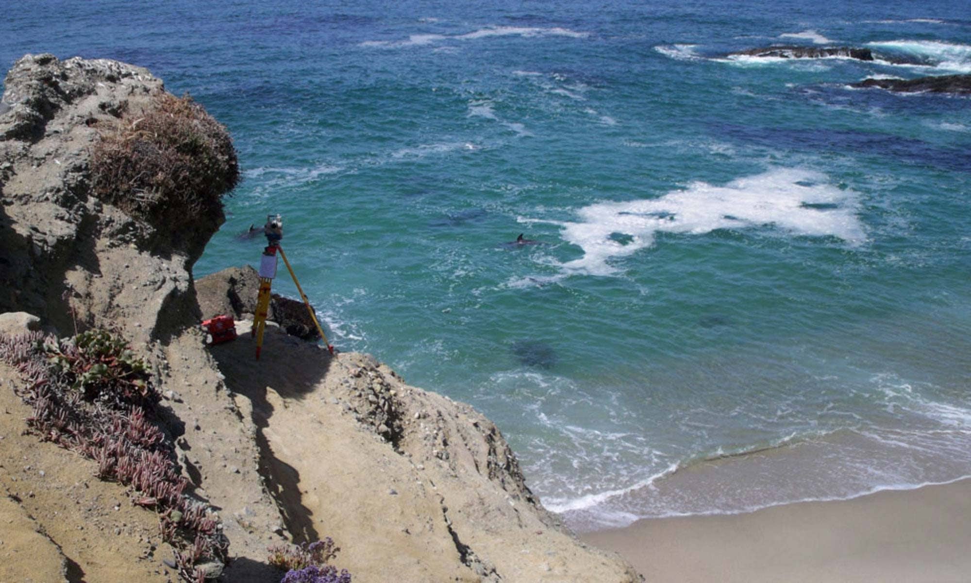
If your property is valued at $700,000, a professional boundary survey that will result in a legal document describing the boundary of your property will generally cost less than 1% of the value of your asset.
Is that more than $500? Yes. Is it worth it? Absolutely. A boundary survey protects the value of your home and property. (See: How much does a boundary survey cost?)
Google is a great tool and I love how it can empower consumers to do their own research to make better buying decisions. It’s unfortunate the information isn’t always accurate. Your best bet is to talk to a professional land surveyor in your area. They should ask questions about your property and your project before quoting you a price. Here are some resources that can help you:
